
~Sour Howes & Sallows~
27th November 2010
It's said to be the coldest November weather for 17 years. All that was needed was a little sunshine for a group of three fellwalkers to venture onto two of the Far Eastern Fells' lesser lights...
Sour Howes
Scroll down for photos and a description of the walk....
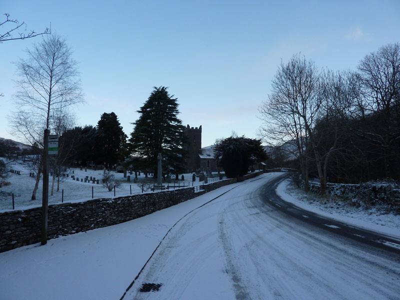
Jesus Church, Troutbeck
David Dimmock and I arrived together and parked at the bus stop, well there were no buses about. Simon Howard was already here, we started walking at 08:25. The plan was to do a lengthy walk incorporating two "new" fells, the sky was clear and the going good.
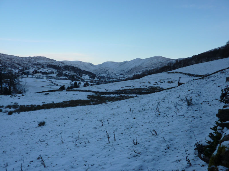
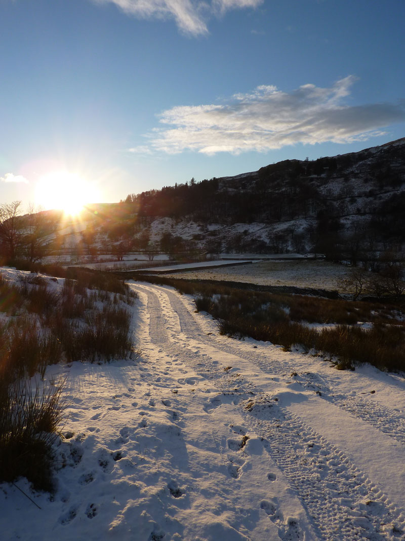
Trout Beck
It's cold, the car thermometer says -4 C. The summits look clear and that's where we will be heading after the first two fells. In the meantime, it's off to Sour Howes "a fell of no obvious appeal to walkers, and few other than conscientious guide-book writers will visit its summit" said Wainwright.
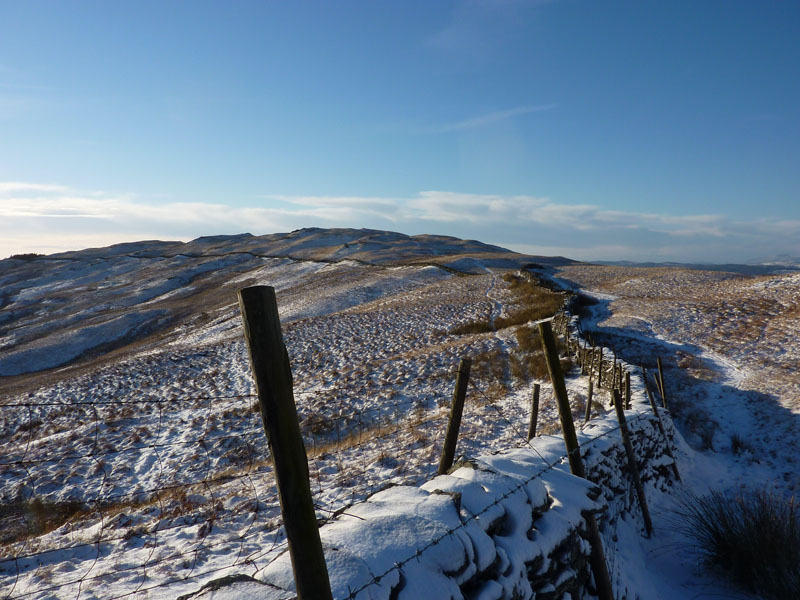
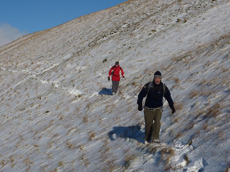
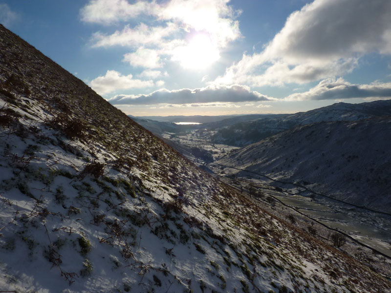
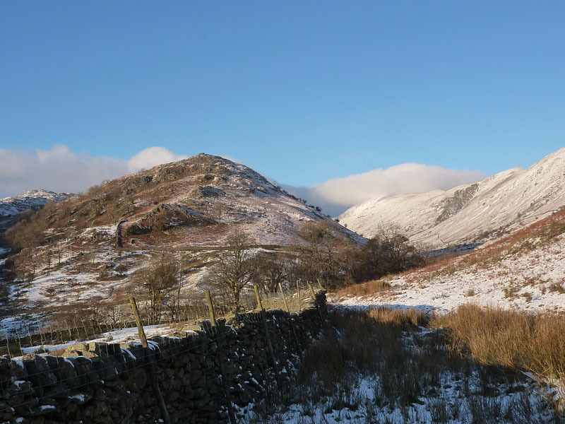
Sour Howes ascent route
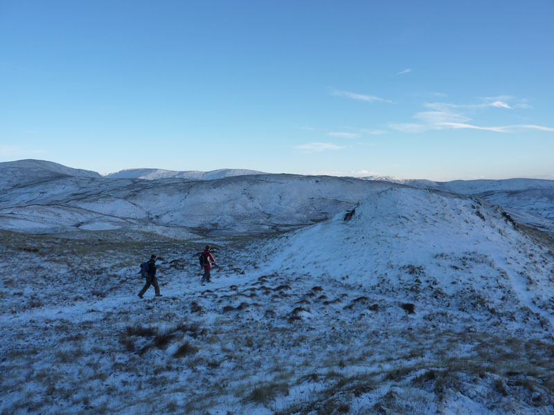
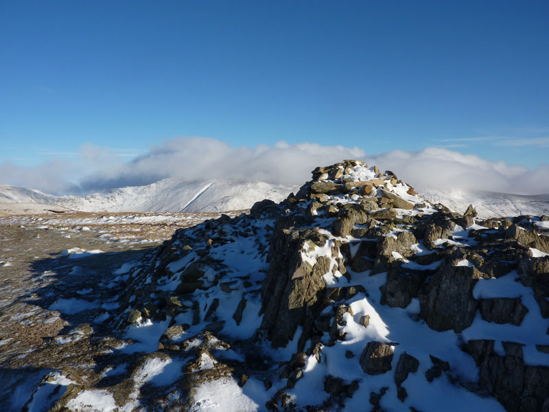
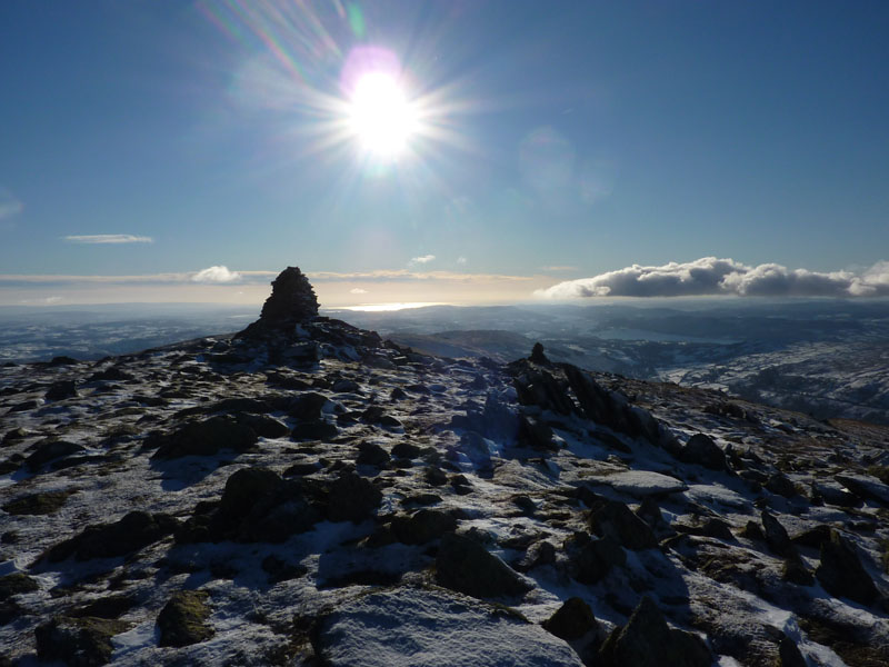
Sour Howes Summit
The summit area is a series grass hummocks, with a rocky ridge being the highest point. In this photo, Sallows can be seen further away.
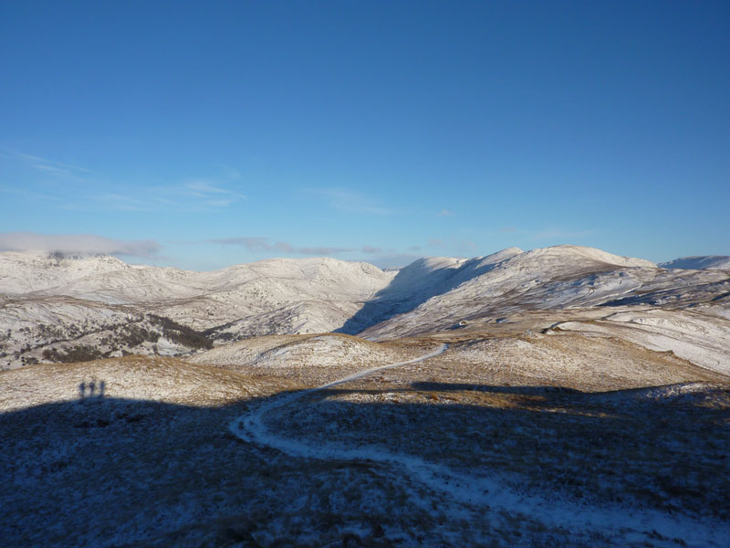
Looking Ahead
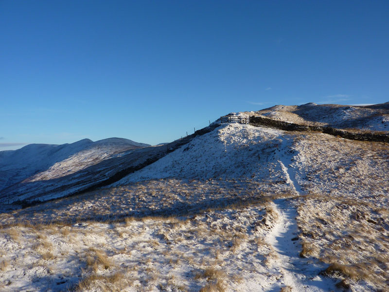
A few clouds are appearing, what does this mean, I wonder? We follow the wall seen to the right of the photo, to the summit of Sallows.
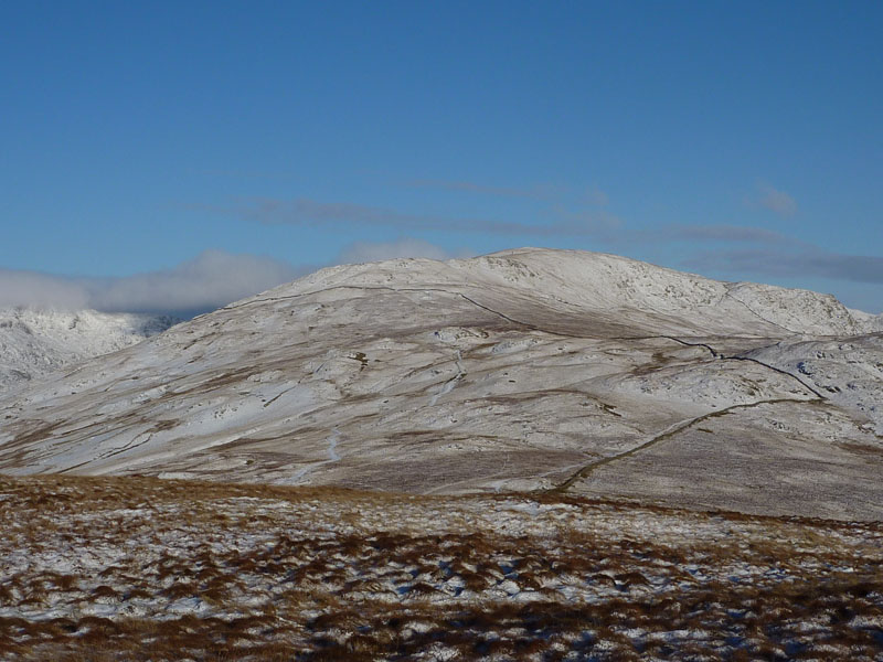
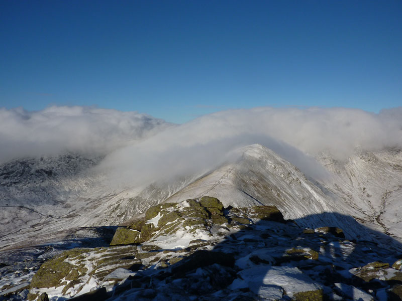
Yoke from Sallows
The two main objectives easily achieved early on, we head for Yoke. We are going to go up this leg of the Kentmere Horseshoe to Thornthwaite Crag, then descending down Trout Beck to The Tongue. Those clouds are building.
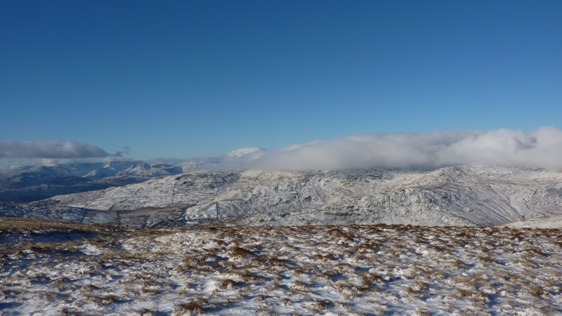
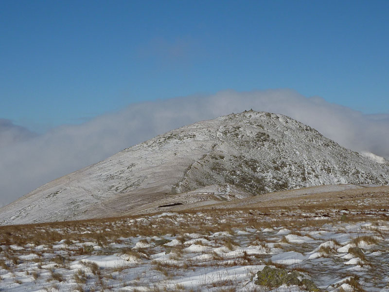
Wansfell
The clouds have rolled along the ridge from Caudale Moor to Wansfell, we might need a Plan B, it's mighty cold in a stiff NE breeze and it won't be pleasant in the clouds.
Yoke Summit
This is the second time this year that the three of us have been on Yoke, we completed the Kentmere Horseshoe on a humid, warm day in June. What a contrast!
Ill Bell
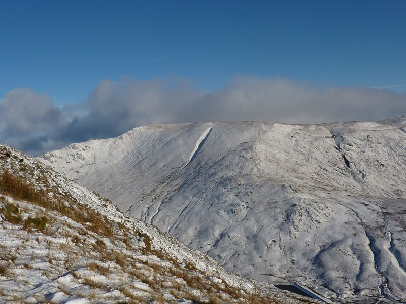
Harter Fell
Drygrove Gill shows up well in white. A little bit of Kentmere Reservoir can be seen. I can't tell you how cold it was when exposed to the breeze. If it was -4 down in the valley, then it must have been closer to -10 up here, then chuck in a bit of wind-chill ... brrrrrrr
Simon and Dave ascend Ill Bell
Ill Bell Summit
By now, we'd made up our minds not to proceed to Froswick and Thornthwaite Crag and I'm about to show you why:
Froswick
The summit-clinging cloud creating interesting views. We just don't need to get that cold in those circumstances and also, I was up there, in cloud last Saturday, so I don't need a repeat. The plan is to drop down to the col and then double-back along the path which contours below Ill Bell before taking a direct descent to Trout Beck.
Contouring
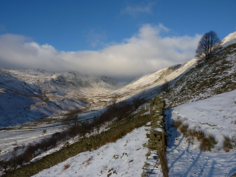
Troutbeck Tongue
In Wainwright's Book Two Ill Bell 5 page, there is a description of a direct ascent of Ill Bell and we intend to take this route down, despite AW's assertion that the route is not suitable for descent.
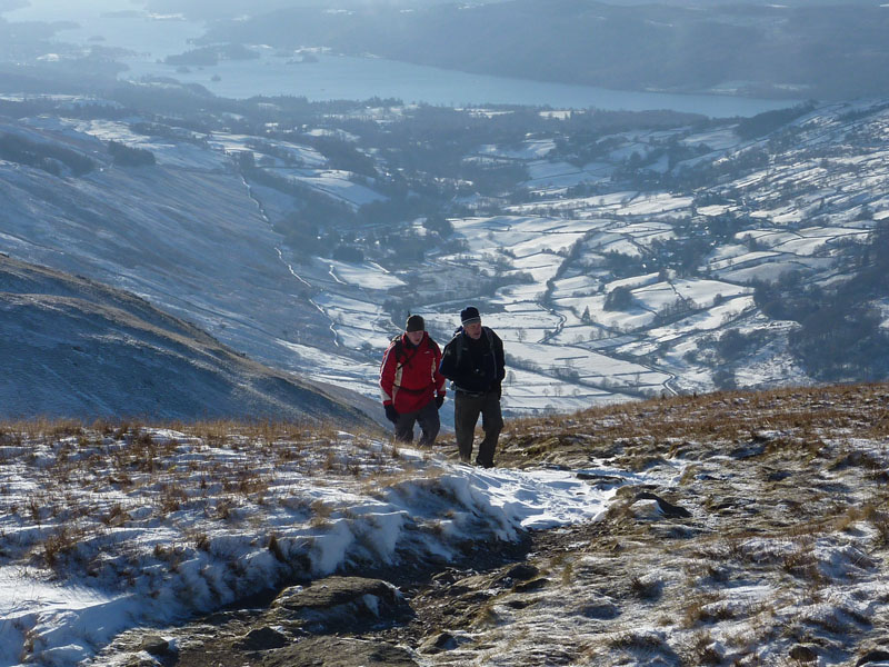
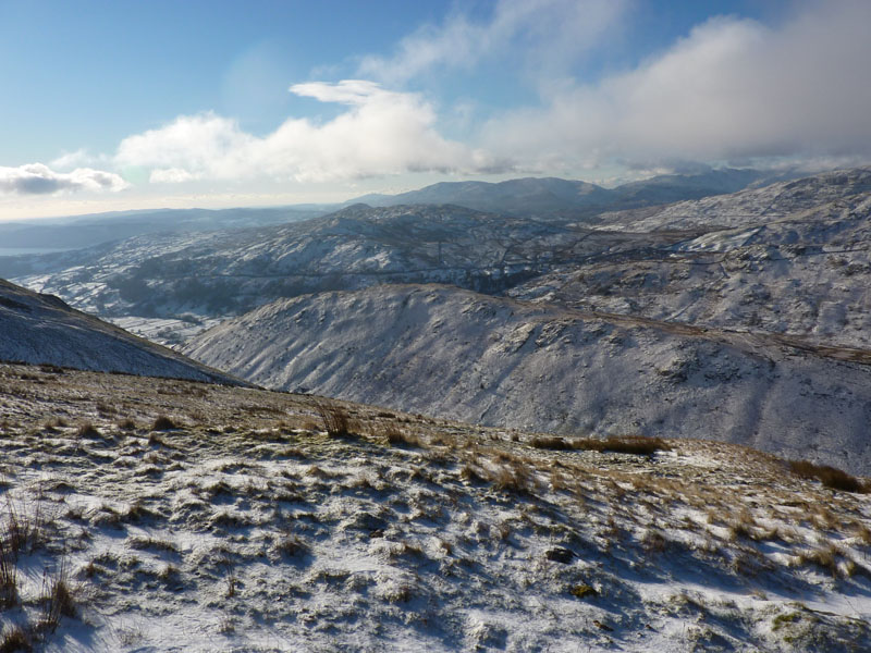
Trout Beck and Windermere
It's not unusual for me to vary the route and we did not follow Wainwright's path; it's steep and we found it quite slippy. We opted for a slide down a gully on the side of the fell.
Dave in the Gully
Dave led the way down the gully, an old quarry building can be seen on the right.
Trout Beck
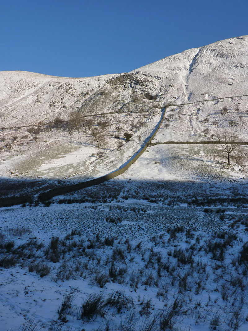
Ill Bell Quarry
That's the gully to the right of the quarry; the path in the book goes through the quarry area and up to the left of the quarry; surely easier to find from the bottom in usual circumstances than from the top in snow.
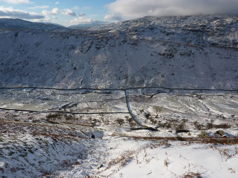
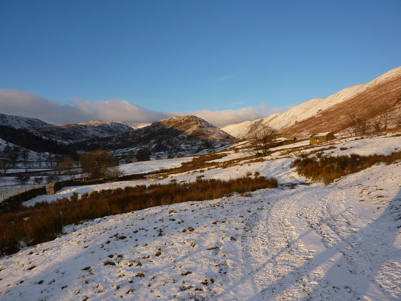
Troutbeck Tongue
On a better day we would have climbed TT from the back side and come down the front, but our descent was slow, the hours were in short supply and extremities were getting cold.
Heading Back
Trout Beck
It's a little difficult to believe that this is November. It's a month I generally associate with wind and rain.
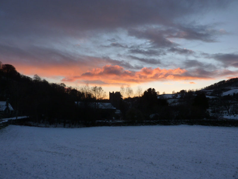
Sunset
Back to the cars, a good use of the available time, two more off the list and the last visit to the Far Easterns for a short while, I'm looking towards the West.
Walkers: David Dimmock, Simon Howard and Me
Time taken: 7hrs 30m over a distance of approx. 10 miles.
Route: Troutbeck Church, Sour Howes, Sallows, Yoke, Ill Bell, into the dip, back along the side of Ill Bell and then down to Trout Beck and along the valley back to the cars.
Weather and conditions: Sunny and very cold.
Greetings Count: First "Hello" on Garburn Pass and then not too many more as most folk were going the same way as us. Strangely, nobody else on the slopes and quarry area of Ill Bell.
Richard's Refreshment Review: Nothing to report today.
Trouble The Cat welcomes me home!
All photos copyright Richard Ratcliffe 2010 ©
Take me back to the start ....